
Wayfinding Signage Program
Let Us Be Your Guide
Explore Asheville Wayfinding Signage Program
The Explore Asheville Wayfinding Signage Program, established in 2008 in partnership with Buncombe County, as well as the local municipalities, and townships encompasses more than 400 wayfinding signs. These elements assist guests and residents traveling in Buncombe County while fostering our community’s identity and sense of place.
For questions about the wayfinding program please contact Destination Project Manager, Kimberly Puryear.
Types of Wayfinding Signs
Four signage systems comprise the Explore Asheville Wayfinding Program: Regional, Asheville, River Arts District, and the Asheville Black Cultural Heritage Trail. These systems include three signage categories:
- Wayfinding/Directional Signage - Vehicular Directional, Pedestrian Directional, Parking Directional, and Municipal or District Identification Signs
- Informational/Orientation Signage - Information Kiosks and Orientation Maps
- Placemaking/Landmarks Signage - Gateway/Overhead, Gateway Sign, Landmark, Public Art, Murals, Lighting, and Landscape Architecture
Upon the creation of this program, a wayfinding interlocal agreement was established among all of the jurisdictions in the county including the Explore Asheville Regional Wayfinding Maintenance Manual. This manual is a vital partner resource for establishing signage quality and consistency throughout the region. Read on for a comprehensive list of wayfinding elements, criteria for inclusion, and a sign type catalogue.
Process for Signage Updates
To submit a request for a sign change, update, or new sign please complete the Wayfinding Signage Request Form. Applications are accepted on a rolling basis. Explore Asheville reviews requests and considers:
- Can it be applied to existing signs?
- Is information on the sign evergreen or does it need to be regularly updated?
- Are new signs needed?
- What is the proposed cost?
Asheville Area Wayfinding Signs

Downtown Asheville wayfinding kiosk
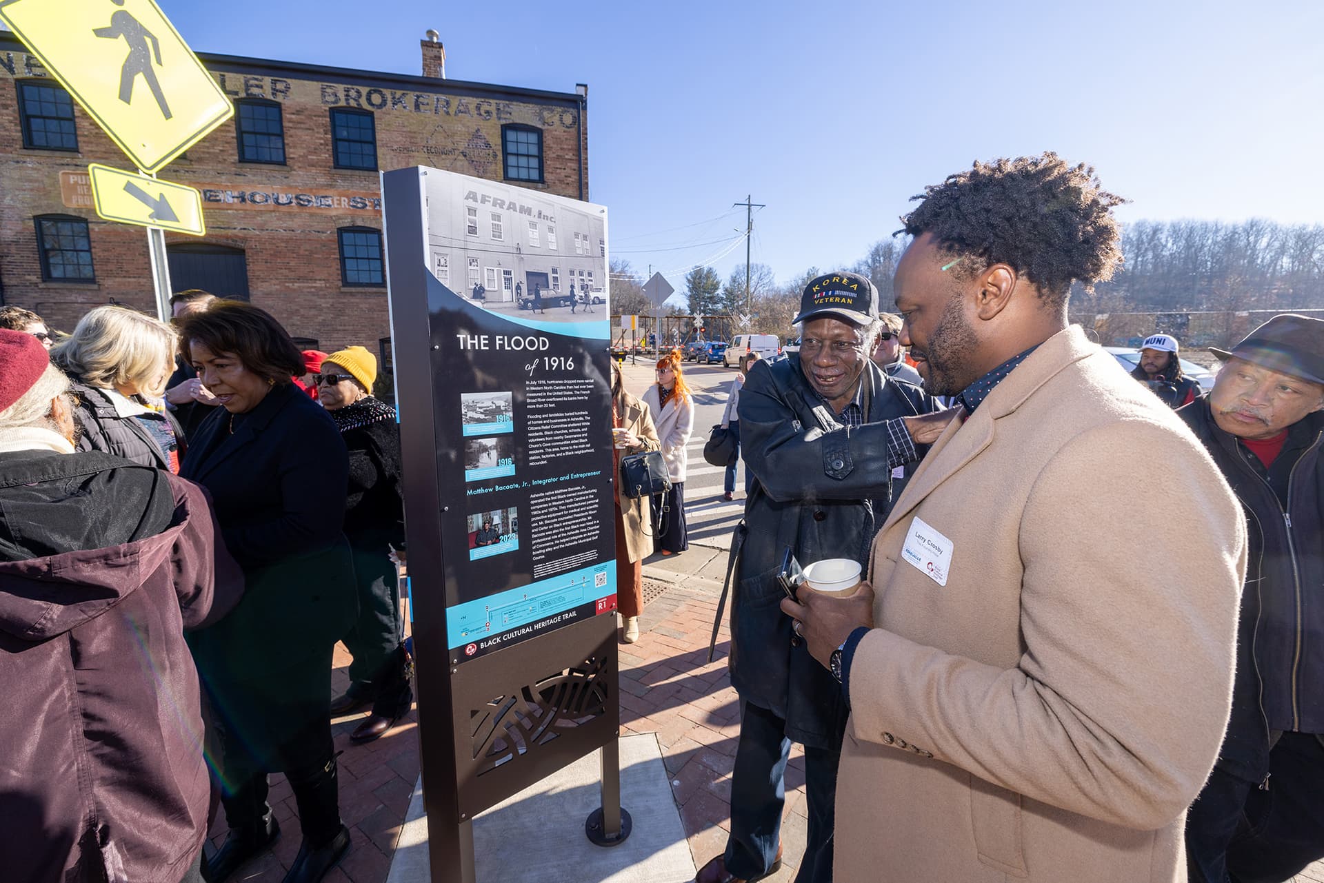
Black Cultural Heritage Trail informational kiosk
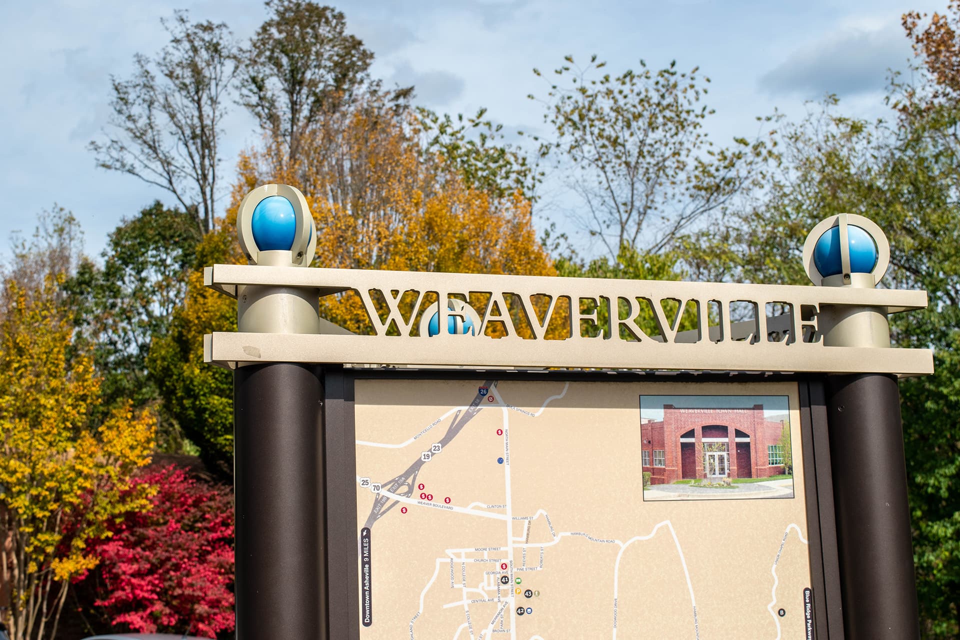
Weaverville orientation map
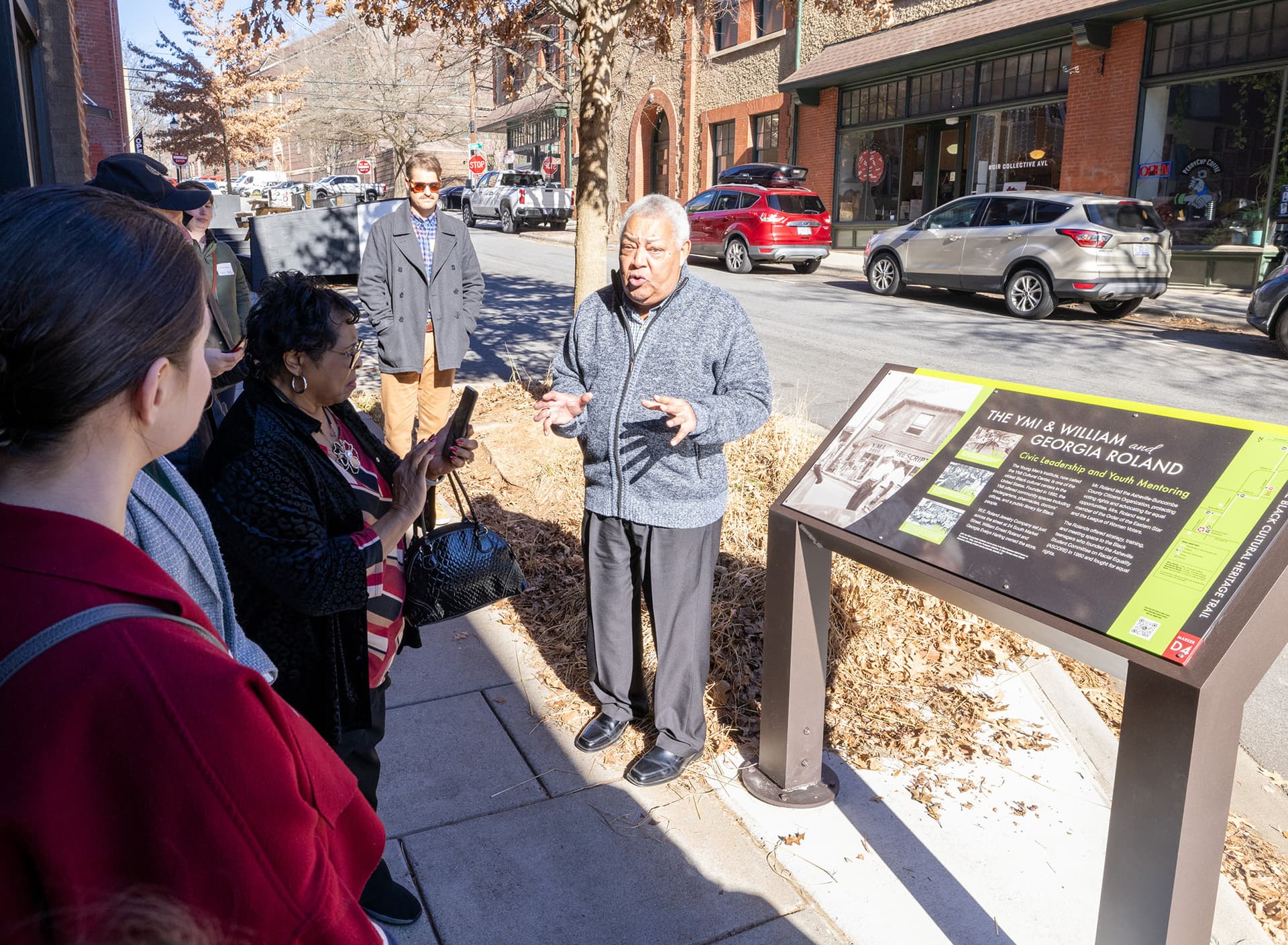
Black Cultural Heritage Trail informational kiosk
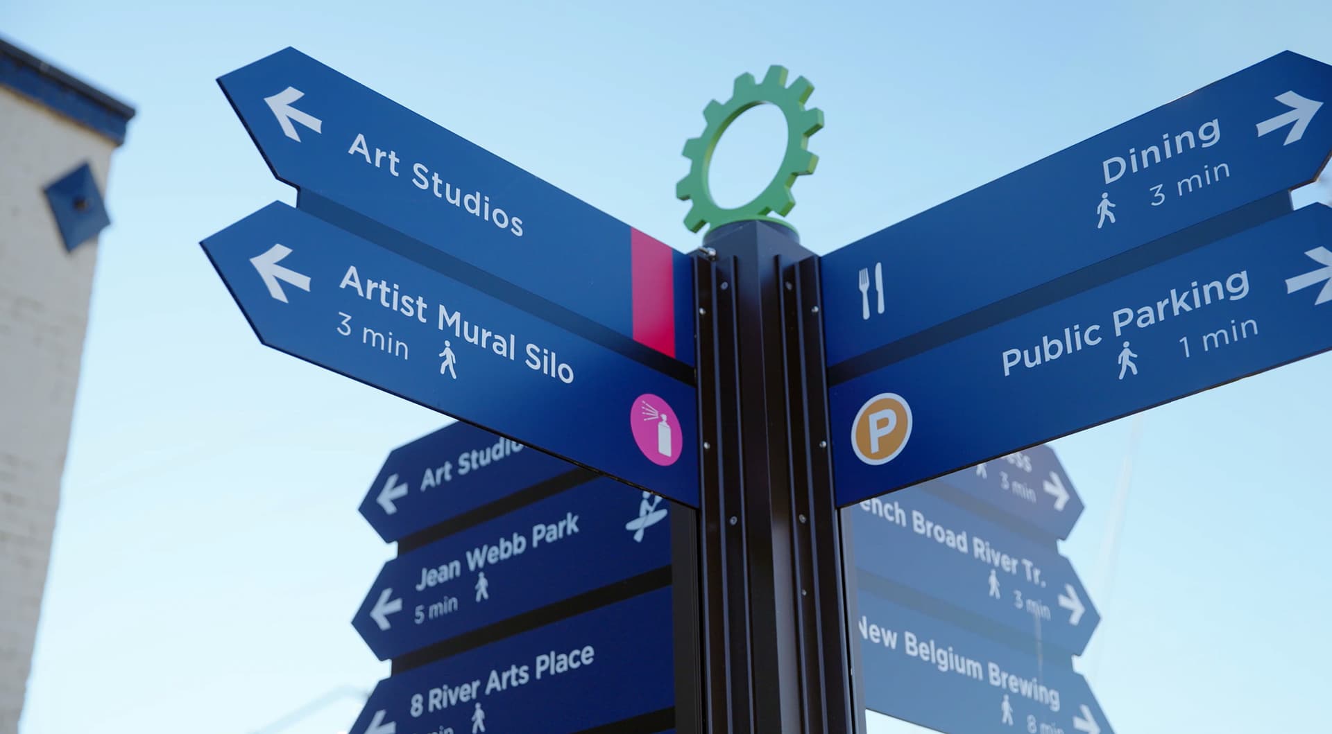
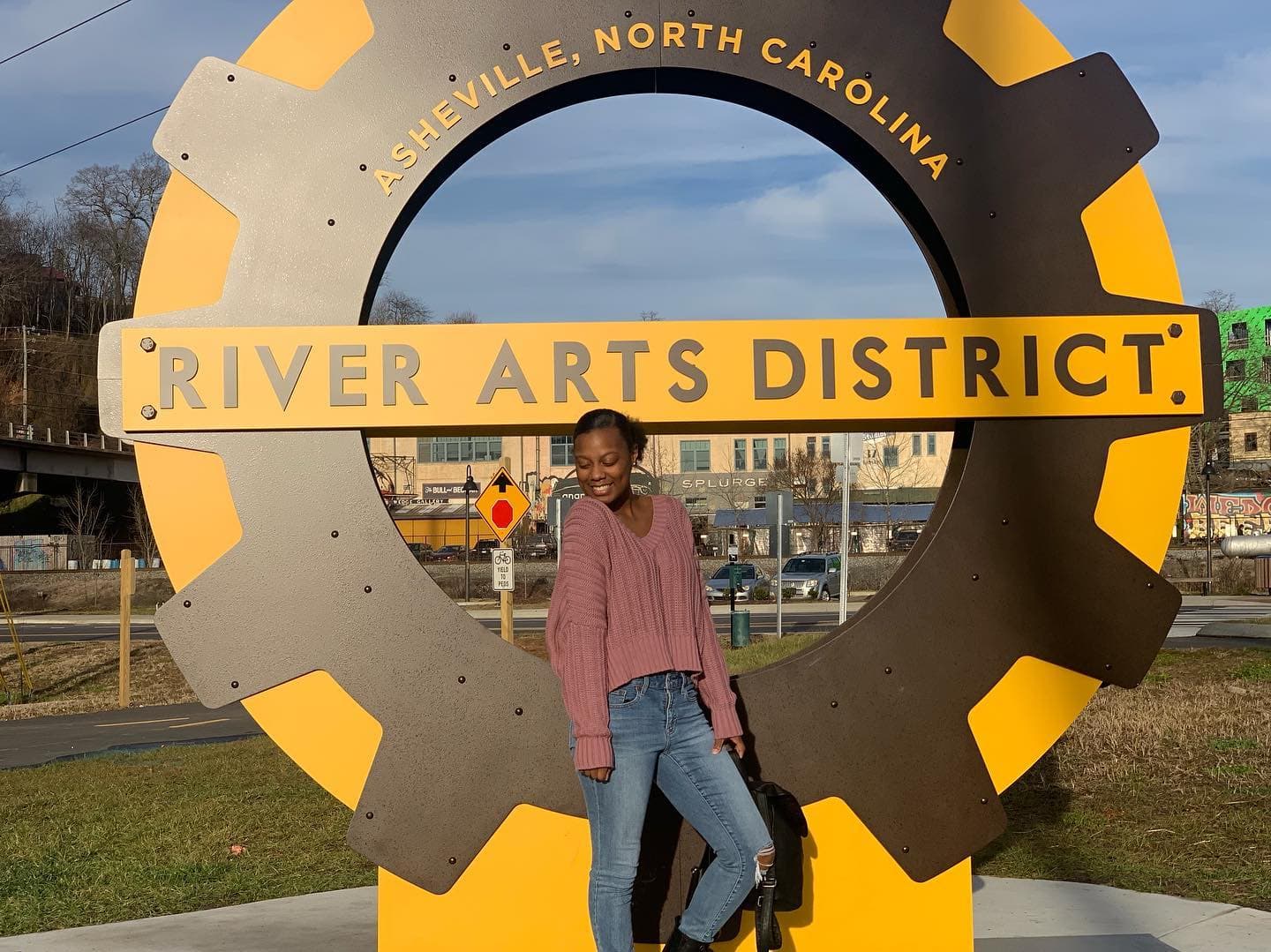
River Arts District Wayfinding
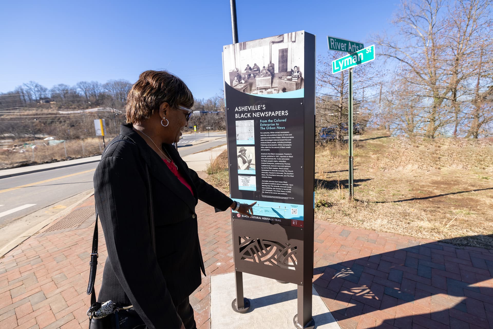
Black Cultural Heritage Trail Informational Kiosk